Delivery and dispatch
Route history against the run that was planned, stop by stop.
 Request a Demo →
SOLUTIONS
Visibility into the routes your fleet actually drives, so inefficient patterns show up while there is still time to fix them — built on the same GPS tracking and geofencing as our fleet management system. Often used alongside delivery management for operations tracking a run against a plan.
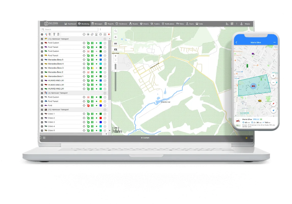
Every trip a vehicle makes is recorded — the path taken, the stops made, the time spent at each one. That history is what makes a route worth optimising: you cannot fix a pattern you cannot see. Comparing the route actually driven against the route expected is what surfaces the detour, the repeated stop, or the vehicle idling longer than the job required.
Geofences around depots, customer sites and restricted areas turn that same GPS data into entry and exit alerts, so a deviation from an expected route is visible as it happens, not only in a report afterwards.
CAPABILITIES
Route history against the run that was planned, stop by stop.
Geofence alerts when a vehicle enters or leaves a defined area.
Time and distance data that shows where a route is running long.
Visibility into the routes field staff actually take between jobs.
Tell us what your fleet runs and we will show you what the route data looks like.